
Map of Tasmania
Located 240km (150mi) south of Australia's mainland, Tasmania is separated by the Bass Strait. Although Australia is itself considered an island, the state of Tasmania is also considered an island and is in fact the world's 26th-largest island. Despite this, as the below map shows, Tasmania is Australia's smallest state.
Situated south of latitude 40, Tasmania is right in the path of some of the world's cleanest winds and is a natural state that is both densely forested and the most mountainous. As the Tasmania map below shows, much of the state is covered in lush green vegetation, in particular the southwest where some of the Southern Hemisphere's last temperate rainforests can be found. In fact, 42 per cent of the land area of Tasmania is protected and covered by national parks and World Heritage sites.
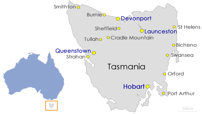
As the map of Tasmania demonstrates, the state is approximately the same size as the Republic of Ireland and twice the size of Switzerland. Yet Australian's would describe Tasmania as a compact state. While it may be compact, locals don't like it when anyone leaves it off a map of Australia! The benefits of its compact size make it easy and convenient to navigate, allowing visitors to explore more of the destination in the time they have available.
As the Tasmanian map shows, the state is surrounded by the Tasman Sea and boasts a diverse natural environment of wilderness and dramatic coastal landscapes. From the capital city of Hobart to the picturesque Derwent and Huon Valleys, Tasmania promises something special.
From the stunning South East to Launceston and the Midlands and beautiful King and Flinders Islands, this unique Australian state offers the experience of a lifetime. Tasmania is an easily traversed landscape of alpine regions, coastline, forests, heritage, offshore islands and wilderness.
